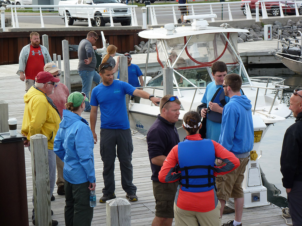
In 2010 EPA initiated the inaugural NCCA survey with the assessment of 1,500 randomly selected coastal areas. For the NCCA 2010, 2015, 2020 and 2025 field seasons, GLEC and subcontractor field crews have conducted 2,222 site visits in the Great Lakes, Atlantic and Pacific coasts and Caribbean. NCCA 2015 sampling protocols for the Great Lakes introduced taking underwater videos of sampling locations to gather habitat and substrate data. GLEC researchers then analyzed site videos to characterize conditions at each site to compare to other site indicator data to help EPA evaluate using video analysis as a sampling and analysis tool. GLEC developed GIS methods in NCAA 2015 for reconnaissance and target site analysis using imagery, navigation charts, bathymetry grids, and other geospatial data. For all NCCA surveys, GLEC delivered training to state and contractor sampling teams; assisted EPA with the Coastal Survey Field Operations Manual and Quality Assurance Project Plan; and provided logistical support with scheduling and project tracking of laboratory analyses and field data, assembly and distribution of kits and equipment, and tracking and reporting of all field crew progress. GLEC and subcontractors coordinated the analysis of whole fish tissue samples and sediment contaminants, grain size and total organic carbon samples collected at approximately 1,400 NCCA 2025 sites.