Geographic Information Systems
click image to enlarge
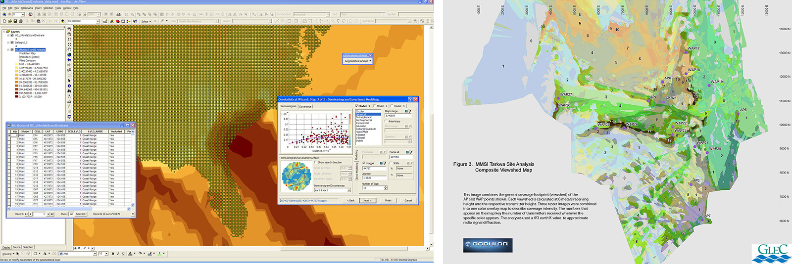
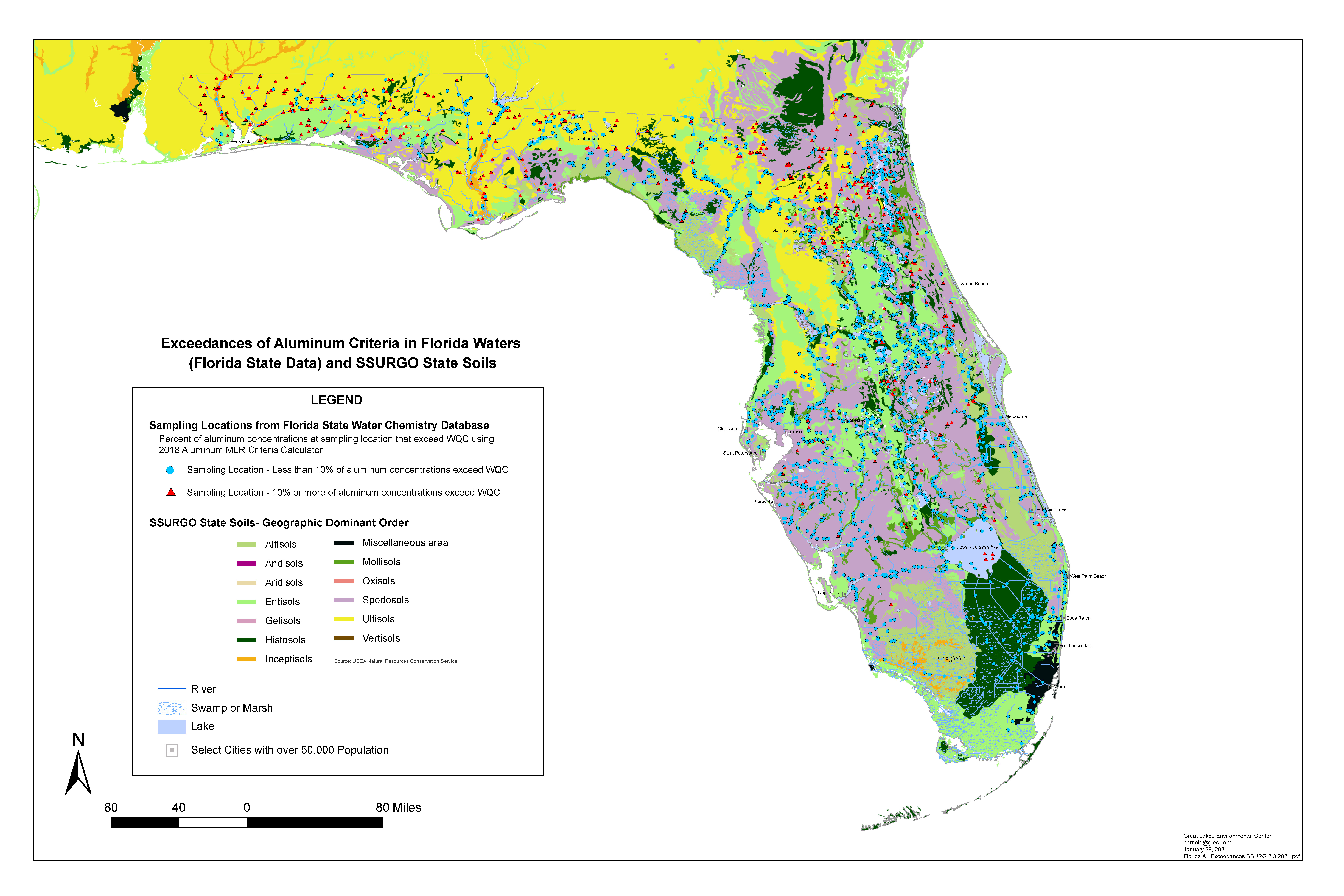
The role of geographic information systems (GIS) in environmental problem-solving and communications continues to expand at a rapid pace. In the environmental sciences, virtually all critical data have a spatial component. Geographic information systems represent a series of processes and tools, whereby complex data are linked to earth-referenced features, manipulated through spatial analysis and database queries, and displayed as results in powerful multi-media maps. Managing and displaying data through GIS distills complex trends and relationships into accessible information.
GLEC’s GIS clients receive innovative and cost-efficient solutions that stress maximum results with minimal complexity. We use the expanding wealth of public data and viewing tools to create meaningful and timely deliverables to support critical decision-making. GLEC GIS specialists utilize the latest versions of ESRI ArcGIS desktop, field and online applications to provide a range of specialized GIS services, from map exhibits supporting environmental assessments and water quality modeling. GLEC’s GIS practice is tightly integrated with our renowned expertise in environmental surveys/assessments, aquatic/terrestrial ecology, and environmental toxicology, lending further value to client GIS investments.